Civil Site Design offers all of the standard tools for creating surfaces from 3D faces, 3D points, contours and point files. You can easily configure the outputs to your standards with the COGO Points features.
Civil Site Design also supports point clouds directly with intelligent filtering. You can use the ground surface for design and visualize your design with the point cloud overlay.
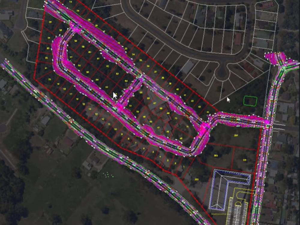
The satellite to surface feature will geo-reference your drawing and will use Google elevation data as well as imagery from multiple sources to generate a surface and overlay the image in just minutes.