Civil Site Design: A Comprehensive Tool for Surface Creation and More
Civil Site Design is a cutting-edge software solution tailored for professionals in the civil engineering and construction sectors. It boasts a plethora of standard tools that facilitate the creation of surfaces from various data sources, including 3D faces, 3D points, contours, and point files. This ensures that users can seamlessly generate accurate and detailed topographical representations of any given site.
One of the standout features of Civil Site Design is its user-friendly interface, which allows for easy configuration of outputs. With the COGO Points feature, users can effortlessly tailor the outputs to align with their specific standards and requirements. This ensures that the generated surfaces not only meet the technical specifications but also adhere to the industry or company standards.
Furthermore, for professionals who utilize Autodesk’s Civil 3D software, Civil Site Design offers unparalleled compatibility. It can directly read Civil 3D surfaces and alignments from your Civil 3D drawings. This integration ensures a smooth workflow, eliminating the need for tedious data conversions or imports. It streamlines the process, saving both time and effort, and ensures that data integrity is maintained throughout.
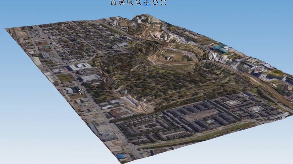
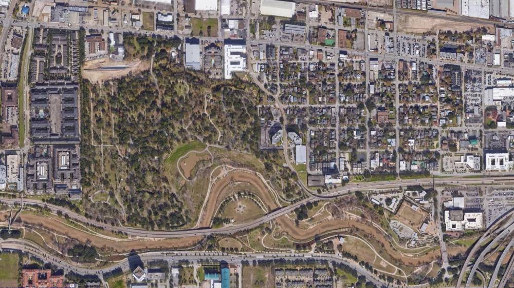
Another innovative feature is the “satellite to surface” capability. This tool allows users to geo-reference their drawings, ensuring that they are accurately aligned with real-world coordinates. But that’s not all; this feature taps into Google’s vast elevation data bank and sources imagery from multiple providers. Within minutes, users can generate a detailed surface and overlay it with a high-resolution image. This not only provides a visual representation of the site but also offers invaluable data for planning and design purposes.
In conclusion, Civil Site Design is more than just a surface creation tool. It’s a comprehensive solution that integrates advanced features, user-friendly functionalities, and compatibility with other industry-standard software. Whether you’re looking to create detailed surfaces, integrate with Civil 3D, or utilize satellite imagery, Civil Site Design has got you covered.


